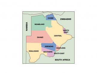
Description
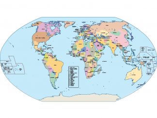
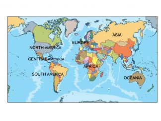
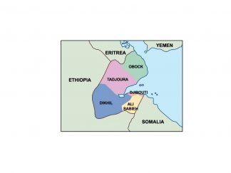
botswana presentation map. Our map is part of our Netmaps’ Collection of PowerPoint Maps and Map outlines that you can use in your presentations.
Download editable maps for PowerPoint presentations with customizable maps that helps you prepare awesome presentations with sales by country or territory. Our editable PowerPoint maps are perfect for sales, marketing and supply chain presentations. We have country maps, continent maps and also World maps.
All PowerPoint slides are available in Microsoft’s .ppt format. This means that you should use MIcrosoft PowerPoint or OpenOffice. You can change the colours and lines to create interesting effects and designs. All slides come with a standardized colour scheme, effect and background design. If you wish to use your company’s corporate design, simply copy the slides into an existing company presentation and apply the design to the slide. That way slides could adopt your corporate design.
Creating thematic maps for Business or Marketing such as territory maps or sales maps is simply because all countries and maps are individual selectable shapes. Netmaps gives you the opportunity to create effortless dynamic custom maps for your presentations. They are professionally designed, perfectly optimized for business presentation requirements and ready to customize.