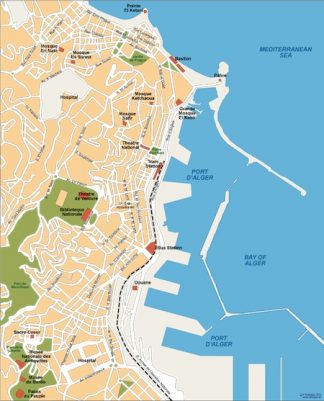
Description
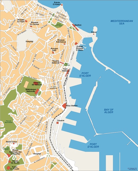
Alger. Our maps are editable EPS maps. City center maps from our map collection that meets the highest quality requirements of graphics professionals, and the flexibility to easily modify the appearance of the map to meet a wide variety of design specifications for any project – print, web, multi-media, and broadcast.
You can modify our vector EPS city maps via Adobe Illustrator
– All Features are in Layers that you can turn on or off. Map features are saved in layers. Every layer can be manipulated independently.
– All Areas are complete objects you can select and modify. Every geographic area is a separate object you can select and edit. This makes it easy to highlight specific areas with color or fill patterns.
– All Lines are fully editable. Every line on a map (eg road, boundary, river) can be edited. You can change color, line width, line style.
– All Text is fully editable font text. Text is font-based, so it’s easy to change the font size and style. You can use your own choice of fonts. You can also add text with your own messaging.
– Our City maps Series are part of the Vector database from our company of cartographers ©Netmaps
