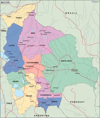
bolivia political map

99.00 

bolivia political map. Our political map is designed to show governmental boundaries of countries, states, and counties, the location of major cities, and our team of cartographers usually include main roads and main cities. Check it on the map. Mapas de Bolivia de nuestra colección geográfica del país de Sudamérica Cartografía creada en archivos EPS Vector de Bolivia. Mapas en Formato Illustrator, editable de la colección de Mapas de Bolivia Vectorial

Our political map is a vector EPS template. Fully editable with Adobe Illustrator. All regions and areas are fully editable objects, font based text. Layers make it easy to customize the appearance of the map using the tools in Adobe Illustrator.

Description

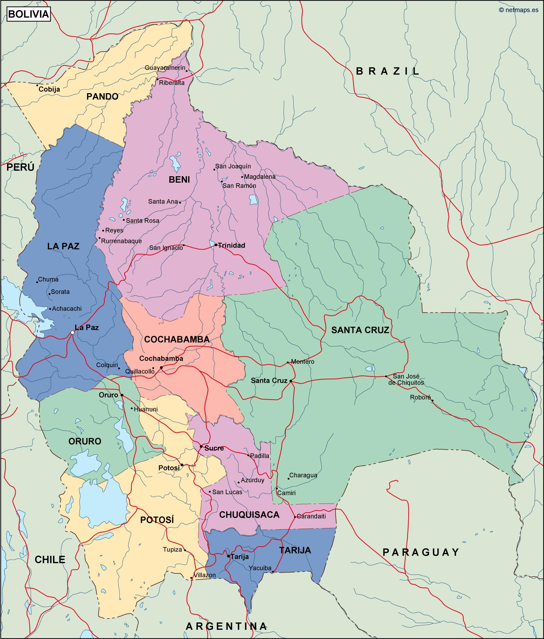
bolivia political map. Digital Maps Online. Adobe Illustrator .AI EPS Vector files from our Netmaps database. Vector maps from Latin South America. Illustrator EPS files, fully editable from our American Country map database. All our digital cartography was created with Vector Adobe Illustrator