America
America Vector Eps. Templates of all the countries of America and the main cities of the continent. All maps are built as Illustrator files, layer structured and fully editable
America vector maps
Our vector maps collection is designed to easily create your own map projects for personal or commercial use without any restriction, for graphic designers, journalists, students and people who need to create maps easily and quickly.
Countries of America
Antigua, Argentina, Bahamas, Barbados, Belize, Bolivia, Brazil, Canada, Chile, Colombia, Costa Rica, Cuba, Dominica, Dominicana, Republic, Ecuador, El Salvador, Grenada, Guatemala, Guyana, Haiti, Honduras, Jamaica, Mexico, Nicaragua, Panama, Paraguay, Peru, Puerto Rico, St. Christopher Nevis, St. Lucia, St. Vincent & Grenadines, Surinam, Trinidad y Tobago, Uruguay, USA, Venezuela
More than 600 vector maps of America
Showing 1–16 of 651 results
-

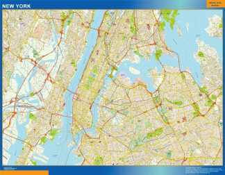
new york wall map
79.50 € Add to cart -

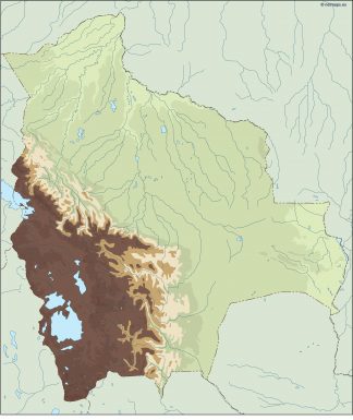
bolivia illustrator map
29.00 € Add to cart -

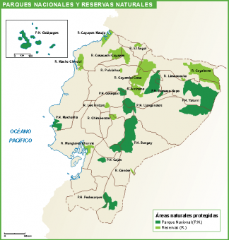
Ecuador mapa parques
39.00 € Add to cart -

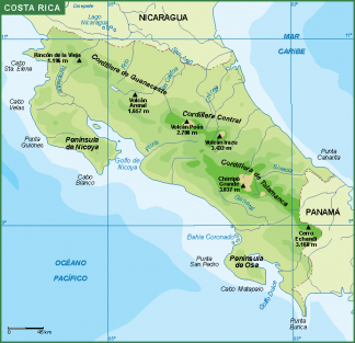
Costa Rica mapa fisico
39.00 € Add to cart -
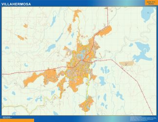
mapa Villahermosa
79.50 € Add to cart -
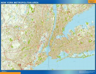
new york metropolitan wall map
79.50 € Add to cart -

mexico presentation map
25.00 € Add to cart -
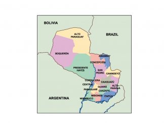
paraguay presentation map
25.00 € Add to cart -
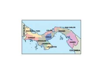
panama presentation map
25.00 € Add to cart -
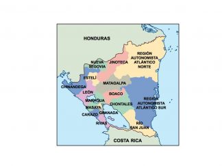
nicaragua presentation map
25.00 € Add to cart -
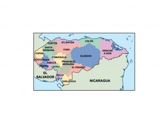
honduras presentation map
25.00 € Add to cart -
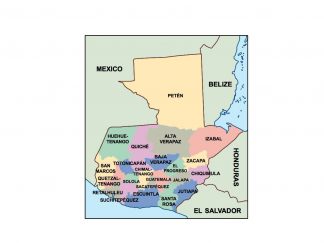
guatemala presentation map
25.00 € Add to cart -
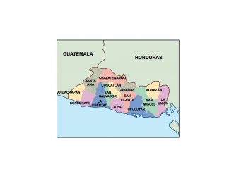
el salvador presentation map
25.00 € Add to cart -

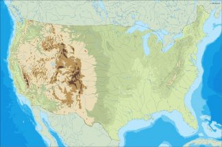
usa illustrator map
29.00 € Add to cart -

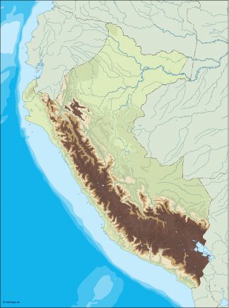
peru illustrator map
29.00 € Add to cart -

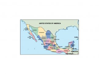
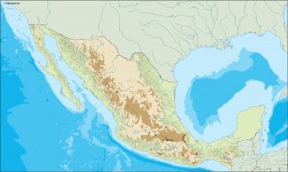
mexico illustrator map
29.00 € Add to cart
Showing 1–16 of 651 results