
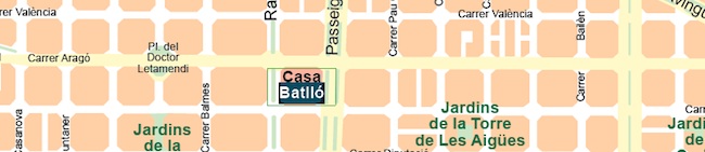
Vector maps – layered & editable maps
Using the graphic tools in Adobe Illustrator, we created a map collection that set the standard for professional quality vector maps for graphic design professionals. Our maps are ready to use, and give you the flexibility to easily modify the appearance of the map to meet a wide variety of design specifications for any project – print, web, multi-media, and broadcast.
Editable vector maps
Lines are fully editable. Every line on a map (rivers, roads) can be edited. You can change color, line width, line style.
Text is fully editable font text (not outlines). Text is font-based, so it’s easy to change the font size and style. You can use your own choice of fonts.
Intuitively layered
Features are in layers that you can turn on or off. Map features are saved in layers, which makes it easy to turn features on or off so you get to choose which features to include.
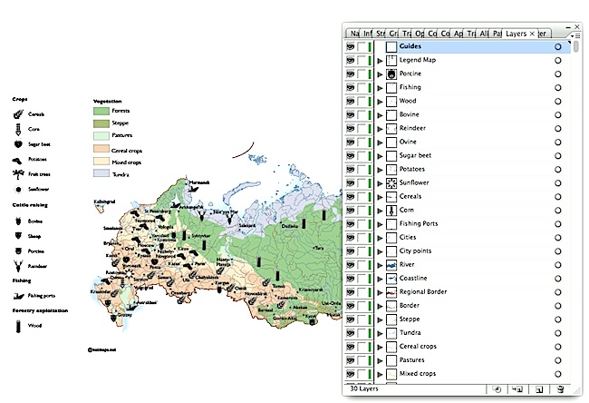
Open maps. The distribution of thematic layers is designed to quickly create different types of maps through their activation and deactivation, arrangement or its edition.