Description
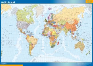
world wall map political. Size: 92 cm (smaller side). Laminated write on / wipe off. All maps are writable with Velleda Markers and encapsulated. Worldwide delivery for free. Included in price

79.50 €
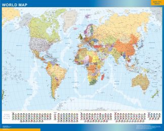
world wall map political. Our political map is designed to show governmental boundaries of countries, states, and counties, the location of major cities, and our team of cartographers usually include main roads and main cities. Check it on the map. Size of the map 92 cm (smaller side). All our maps are laminated two sides Velleda encapsulation. It means you can write on and wipe off, so maps are writable. Maps are sent in tubes. Free Worldwide delivery included in price.
world wall map political. Size: 92 cm (smaller side). Laminated write on / wipe off. All maps are writable with Velleda Markers and encapsulated. Worldwide delivery for free. Included in price