Belgium Maps
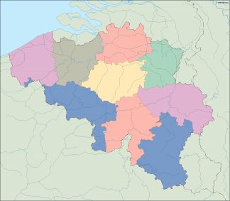
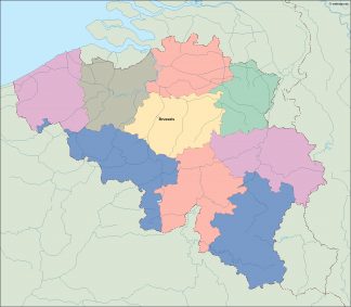
Belgium maps. Vector Maps of one of the central countries of Europe as vector eps files. Maps of the country and the main cities. All vector map objects reside on their own layers, allowing designers to easily show & hide map elements as needed.
Belgium digital maps
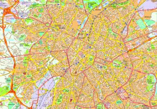
Political and physical maps of Belgium. We are also offering different vector maps of the capital of the country, Brussels. Our maps are designed to easily create your own map projects for personal or commercial use without any restriction. Netmaps® pioneered the use of Adobe Illustrator® for map-making. Clients in 108 countries of the world
Showing all 16 results
-

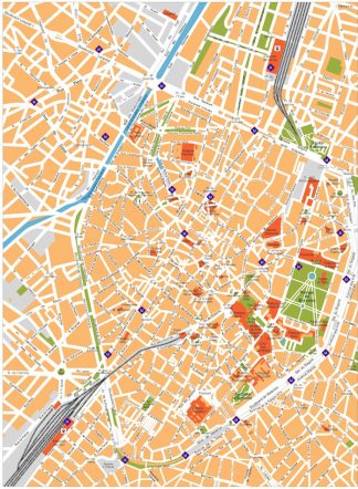
Brussels vector map
140.00 € Add to cart -

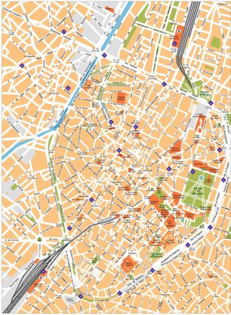
Brussels Vector Map
140.00 € Add to cart -

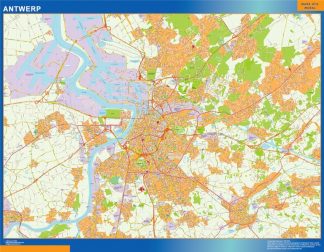
carte anvers
895.00 € Add to cart -

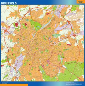
carte bruxelles
995.00 € Add to cart -

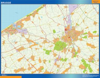
carte brugge
895.00 € Add to cart -

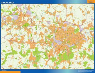
carte charleroi
895.00 € Add to cart -

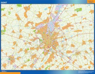
carte gand
895.00 € Add to cart -

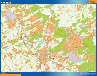
carte hasselt
895.00 € Add to cart -

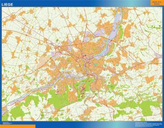
carte liege
895.00 € Add to cart -

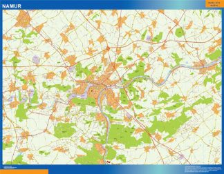
carte namur
895.00 € Add to cart -

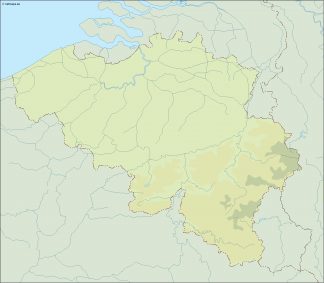
belgium illustrator map
29.00 € Add to cart -

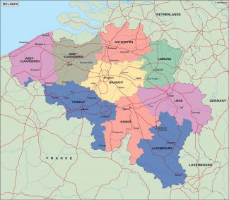
belgium political map
99.00 € Add to cart -

belgium blind map
35.00 € Add to cart -

belgium vector map
39.00 € Add to cart -

Brussels map vector
200.00 € Add to cart -

Brussels map
495.00 € Add to cart
Showing all 16 results
