Angola Maps
Angola is a country in the South part of Africa. The capital city is Luanda. Angola is bordered by Namibia to the south, Zambia to the east, the Democratic Republic of the Congo to the north-east, and the South Atlantic Ocean to the west.
Angola vector maps
Our files are illustrator eps, fully editable. There are also some options of wall maps. Angola is a country located in southern Africa with a rich history and diverse culture. Our collection of Angola vector maps offers a detailed view of the country’s regions, cities, and towns, with precise boundaries and accurate geographic features. These vector maps are available for instant download in EPS format, allowing for easy customization and scaling without any loss of quality.
Whether you’re planning a trip to Angola, conducting research, or creating visual aids for presentations, our vector maps are an essential tool. With options ranging from national maps to city-specific maps, our collection has something for everyone. The maps also feature essential details such as major roads, bodies of water, and national parks, making them suitable for a variety of applications.
Our Angola vector maps are compatible with popular design software like Adobe Illustrator, making it easy to incorporate them into your projects seamlessly. Browse our selection today to find the perfect map for your needs and take advantage of our instant download option to get started right away.
Showing 1–16 of 17 results
-

angola blind map
20.00 € Add to cart -

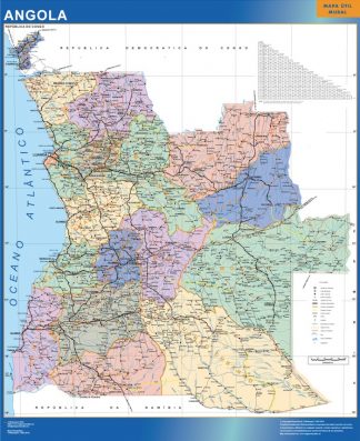
wall map angola
79.50 € Add to cart -

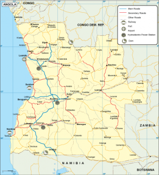
Angola transportation map
55.00 € Add to cart -
angola vinyl sticker maps
89.00 € Add to cart -
angola framed maps
449.00 € Add to cart -
magnetic map angola
449.00 € Add to cart -

angola presentation map
25.00 € Add to cart -
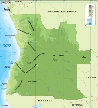
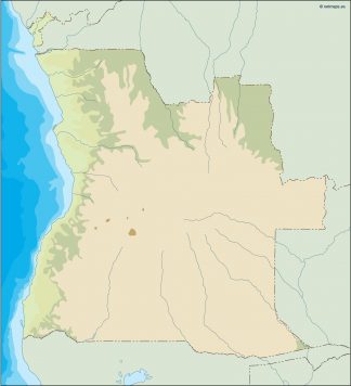
Angola physical map
50.00 € Add to cart -
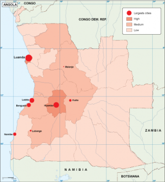
Angola population map
60.00 € Add to cart -
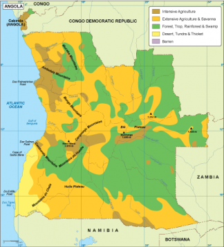
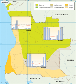
Angola vegetation map
70.00 € Add to cart -
Angola EPS map
80.00 € Add to cart -
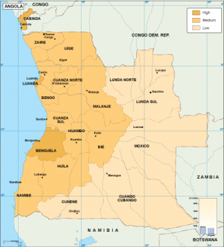
Angola economic map
75.00 € Add to cart -
Angola climate map
65.00 € Add to cart -
angola illustrator map
29.00 € Add to cart -
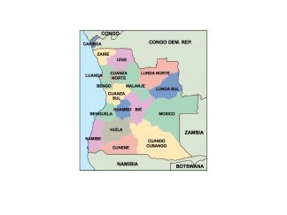
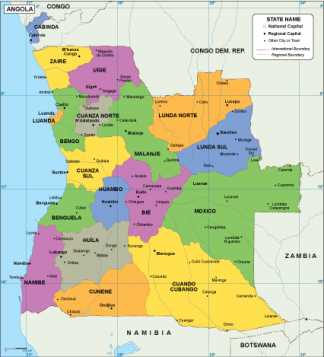
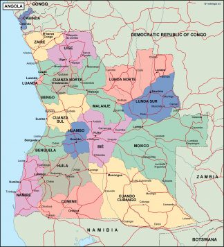
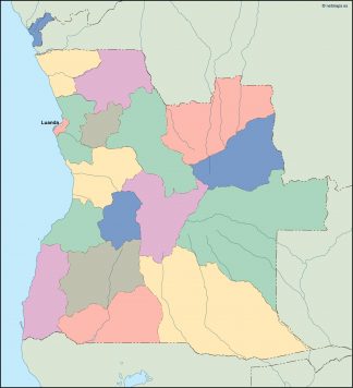
angola political map
99.00 € Add to cart -
angola vector map
39.00 € Add to cart


Showing 1–16 of 17 results