Benin Maps
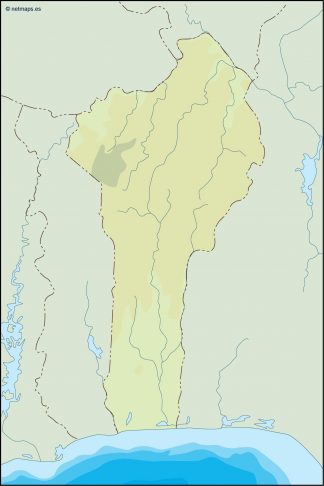
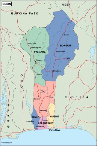
Benin is a country in the West part of Africa. The capital of Benin is Porto-Novo. The seat of government is in Cotonou, the country’s largest city.
Benin vector maps
Our files are illustrator eps, fully editable. There are also some options of wall maps. Benin vector EPS maps are the perfect solution for anyone looking to explore this West African country. These maps are created using the latest vector technology and include the country’s administrative boundaries, major cities, and other important geographic features.
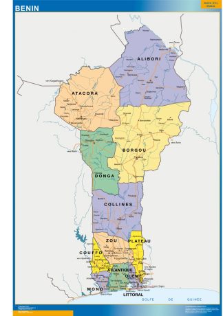
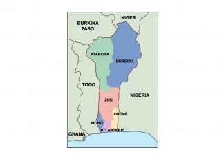
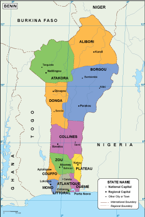
With our Benin vector EPS maps, you can easily locate the country’s capital city of Porto-Novo, as well as other major cities such as Cotonou and Parakou. The maps also show the country’s borders and neighboring countries, including Togo, Nigeria, Burkina Faso, and Niger.
Whether you’re planning a trip to Benin or simply need accurate and detailed maps for research purposes, our vector EPS maps are an excellent choice. They are easily downloadable and can be customized to suit your specific needs.
Showing all 16 results
-

benin vinyl sticker maps
89.00 € Add to cart -
benin framed maps
449.00 € Add to cart -
magnetic map benin
449.00 € Add to cart -

benin presentation map
25.00 € Add to cart -
wall map benin
79.50 € Add to cart -

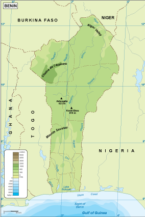
Benin physical map
50.00 € Add to cart -
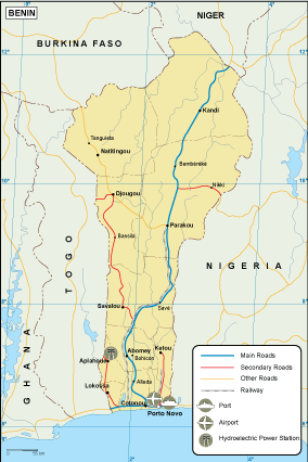
Benin transportation map
55.00 € Add to cart -
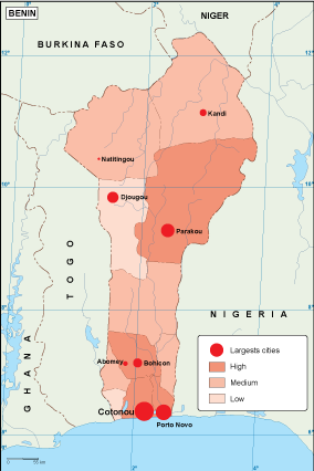
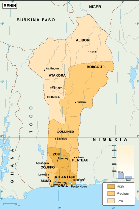
Benin population map
60.00 € Add to cart -
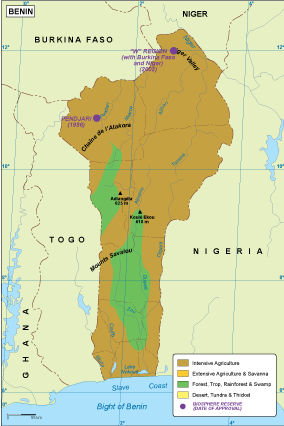
Benin vegetation map
70.00 € Add to cart -
Benin EPS map
80.00 € Add to cart -
Benin economic map
75.00 € Add to cart -
Benin climate map
65.00 € Add to cart -

benin illustrator map
29.00 € Add to cart -
benin political map
99.00 € Add to cart -
benin blind map
35.00 € Add to cart -
benin vector map
39.00 € Add to cart


Showing all 16 results