Cape Verde Maps
Cape Verde vector maps
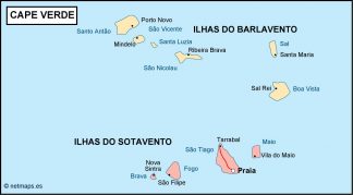
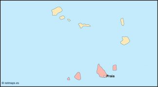
Cape Verde vector maps are digital maps that show the country’s administrative boundaries, major cities, and physical features. Praia is the capital of Cape Verde, and the neighboring countries are Senegal, The Gambia, and Mauritania. Cape Verde is an island country located off the coast of West Africa.
Showing all 12 results
-

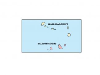
cape verde presentation map
25.00 € Add to cart -

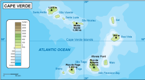
Cape Verde physical map
50.00 € Add to cart -
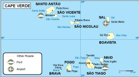
Cape Verde transportation map
55.00 € Add to cart -
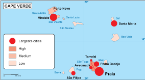
Cape Verde population map
60.00 € Add to cart -
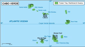
Cape Verde vegetation map
70.00 € Add to cart -
Cape Verde EPS map
80.00 € Add to cart -
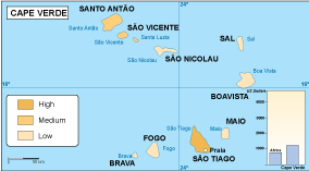
Cape Verde economic map
75.00 € Add to cart -
Cape Verde climate map
65.00 € Add to cart -

cape verde illustrator map
29.00 € Add to cart -

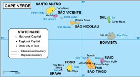
cape verde political map
99.00 € Add to cart -
cape verde blind map
35.00 € Add to cart -
cape verde vector map
39.00 € Add to cart

Showing all 12 results